click on picture
to enlarge
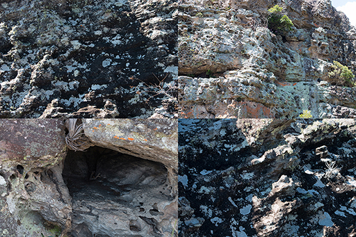
eological structure resulting from great techtonic activity during the Mesozoic, especially during the Jurassic-Cretaceous, about 130 million years ago. The activity pushed up the crust of the Earth in the eastern part of Paraná, forming an arch with its convex side pointing east and an array of faults and fractures running parallel to the axis of the arch.There also occurred much volcanic activity, which injected and poured out immense quantities of lava all over the Paraná Sedimentary Basin.
The phenomenon, associated with the breaking up of the continent Gondwana and the formation of the South Atlantic Ocean, defined the geology and geomorphology of the State of Paraná, resulted in the formation of three terraced plateaus dropping in an east-northeasterly direction. They are separated by escarpments, which make them topographical steps. They are called First, Second and Third Plateaus. Their slopes favored the development of a drainage network running in a general westerly direction.The rising of the crust also opened deep fractures which allowed passage of basaltic magma, which formed the red earth of northern Paraná, and, in Campos Gerais, one of the planet’s most impressive examples of magmatic dikes.